
Map Data
This dataset includes the officially maintained locations of Fuvahmulah City for public use, research and application development. Data can be downloaded in standard formats that are compatible with most GIS tools and mapping plaforms
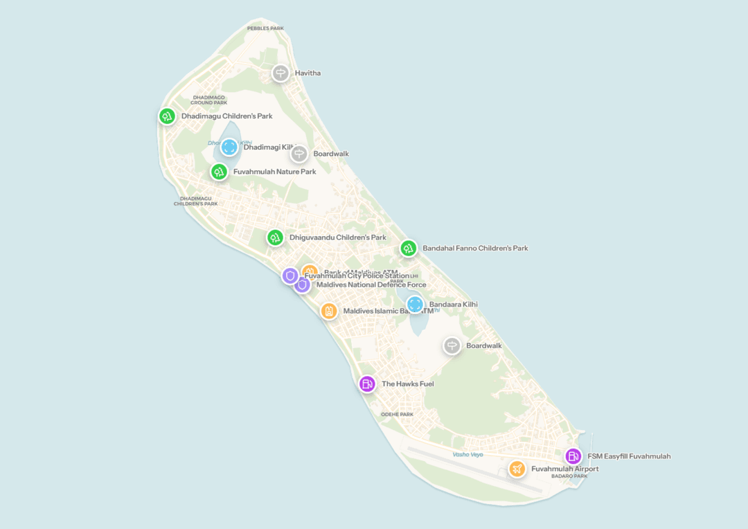
What is included?
Total Locations: 3809
Categories: Landmarks, Public Facilities, Residences
Update Frequency: Daily
Dataset Updated: 10/25/2026
Dataset Generated: 10/29/2026